Program overview
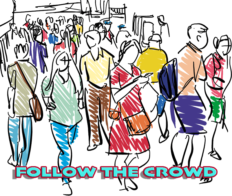
In this full day excursion students will investigate two sites within Brisbane’s CBD, King George Square and the Post Office Square, to determine how people connected to places. In an introductory discussion, we consider what it is that attracts us to successful public places.
Students use a variety of data collection methods to examine the design of public spaces and measure whether users are interacting with spaces in the way for which they were intended. Once the data has been collected at each site, students will use the Place Diagram Tool (based on a tool produced by Project for Public Spaces) to assess how well each provides for the needs of users.
By observing, mapping and collecting geographic data related to the use of public places, students are able to consider what design changes could be implemented to better suit the needs of the people who live, work and play there.
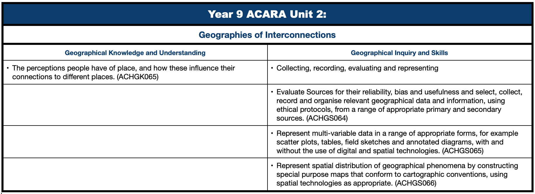
Curriculum links

Curriculum Activity Risk Assessment - Year 9 - Follow the crowd
Make a booking!