"Architects can't force people to connect, they can only plan the crossing points, remove barriers and make the meeting places useful and attractive." -- Denise Scott
Program overview
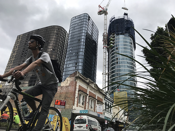
On this full day program, students will have the option of looking at one of two sites in the Fortitude Valley (Fortitude Valley Station entrance and Brunswick Street Mall) with the aim of improving a public space.
Preparatory lesson materials will be provided which will help to develop your students' understanding of the challenges faced by urban planners when designing public spaces that will meet the needs of the community who live, work and play there. These lessons also introduce the data collection methods that will be used in the field, which will allow for a deeper understanding of how the data collected is related to the chosen issue.
On the day of the excursion, we begin with an introductory urban transect, where students will consider some of the social, environmental and economic issues faced in the surrounding area. This information, combined with knowledge gained from the preparatory lessons, will help with the development of focus questions that will guide their field work and subsequent assessment task.
 Students will collect primary data to investigate a chosen issue, which challenges the sustainability and liveability of the area. During this program, students will undertake a range of data collection methods including:
- Urban transect (showing change over time)
- Site survey
- User survey
- Traffic survey
- CPTED survey
- Sustainability survey
- Pedestrian survey
- Movement survey
Upon return to the classroom, students can analyse and synthesis their qualitative/quantitative data collected to propose action/s to manage the identified challenge in Fortitude Valley.
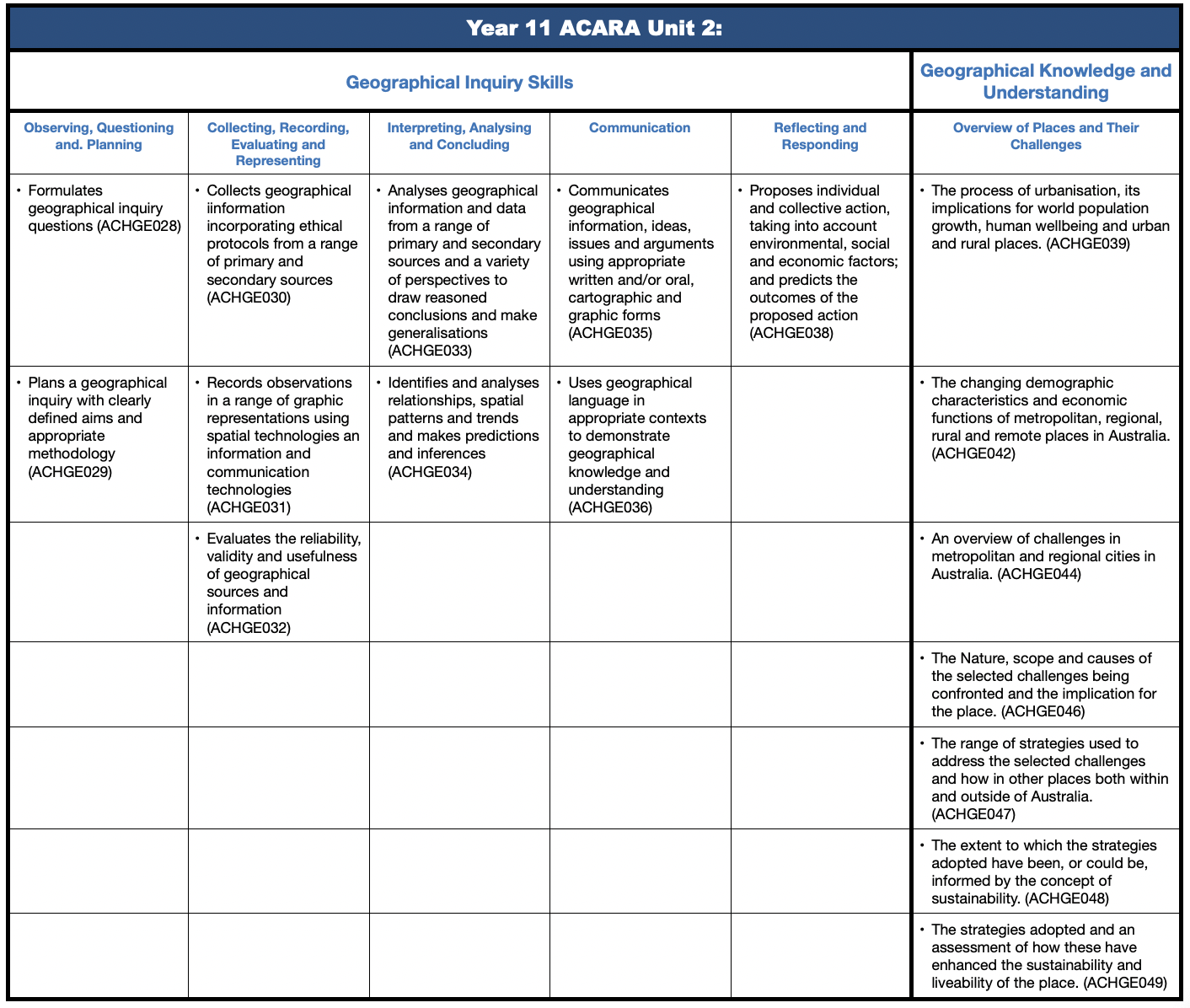
A student field booklet, teaching resources and a ACARA will be provided upon confirmation of your booking.
Curriculum links
 Curriculum Activity Risk Assessment - Year 11 - planning sustainable places
Make a booking!