
Program Overview
Program inquiry question:
What is liveability and how can it be measured and improved?
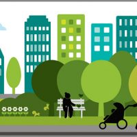 In this half day program, students will participate in a comparative community study, where they will investigate the factors that influence liveability and collect geographical data that relates specifically to these. As part of their observations, students will identify how places within our towns and cities are designed to suit their function and consider how this design can influence the way in which they are used by the people who live, work and play there.
Students will undertake a range of data collection activities on the day, such as:
- Photo annotation
- Traffic survey
- Environmental audit
- User survey
Once the above data has been collected at each site, students will use the Place Diagram Tool (based on a tool produced by Project for Public Spaces) to assess how well each provides for the needs of users and evaluate which place is the more liveable. Further analysis of results enables students to identify elements that could be introduced or improved to enhance the liveability of the place that is considered less effective at providing for the needs of users.
Curriculum links
Make a booking!