Program overview
Me on the Map is a two-hour incursion which is focussed on the students developing a sense of and appreciation for their special place, in this case school. Prior to the day, we ask that students consider their special places around school before creating meaningful symbols for each. The symbols help to develop the students' sense of identity and belonging, which in turn encourages an awareness of why and how they should look after their familiar place.
The day begins with a general discussion about the different types of maps and their uses. Locational language to describe position and movement is introduced, modelled and reinforced throughout the session. A digital story is used to introduce the topic or consolidate prior knowledge and to promote students' understanding of being a part of a bigger world.
 Using different types of maps and digital technology, the students engage in a hierarchy activity where they establish the location of their school in relation to their suburb, Brisbane, Queensland and planet Earth. The program continues with an exploratory walk around school, where students locate, share and photograph their familiar places with our visiting teachers.
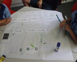
Once back in the classroom, the students work collaboratively in small groups to create a bird's eye view map of the school, highlighting familiar places with photographs and labels.
The session concludes with students and teachers celebrating and reflecting on our learning and creations. The class are encouraged to look towards the future when we consider the question… 'How can we look after our familiar places?'
Follow up activities can include reproducing bird's eye maps using the student created symbols that signify the importance of special places to them.
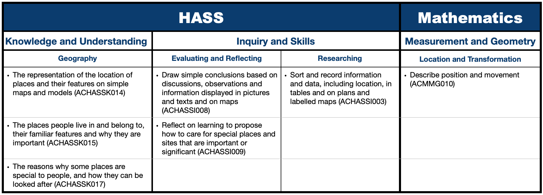
Curriculum links
 Me on the Map - Curriculum Risk Assessment
Make a booking!